


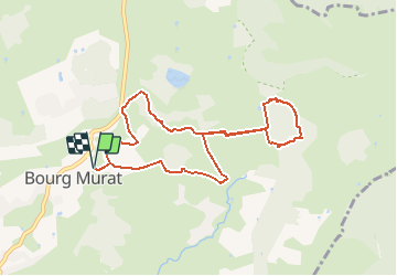

9.5 km | 22 km-effort


User


FREE GPS app for hiking
 SityTrail
IGN / Geographical institutes
SityTrail World
The world is yours!
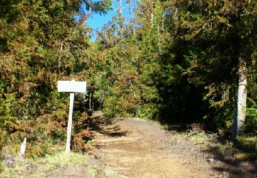
Trail Walking of 11.6 km to be discovered at Réunion, Unknown, Le Tampon. This trail is proposed by GilbertLP.
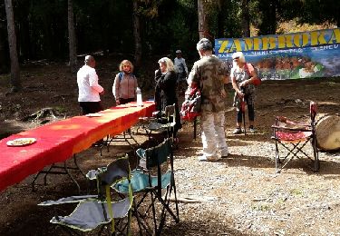
Chemins de traverse propose cette randonnée dans le cadre des Randos Festives 2020, le 11 octobre 2020. Elle permet d'avoir une vue de toute la Plaine des Cafres en prenant de la hauteur en montant au Piton Guichard, situé à l'entrée de la belle forêt des Trous Blancs.


Walking
Trail
On foot
Walking

Walking
Walking
Walking
Walking
Walking